NUUP KANGERLUA SERIES
1: 40 000 Trekking Maps
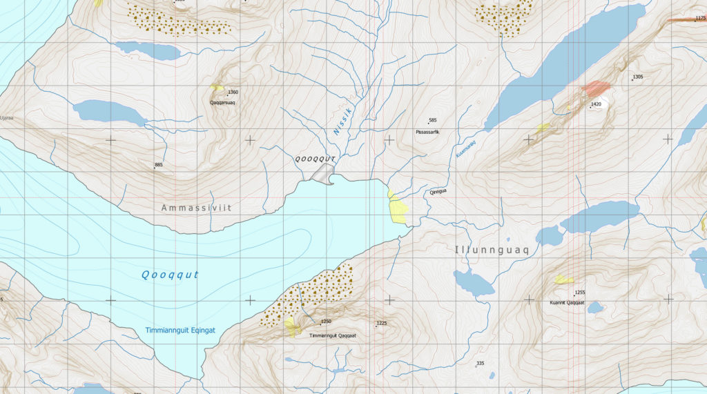
The Qooqqut map covers the popular hunting areas on the south side of central Ameralik fjord, some of the more dramatic mountainous areas between Ameralik and Nuup Kangerlua, the south-eastern part of the Big Island, Qeqertasuaq (Storø) and the summer settlement of Qooqqut.

Particularly striking climbing destinations occur on both sides of the Qooqqut fjord at Qaqqarsuaq and Talorsuit. The map also incorporates one of the narrowest points for hiking between Ameralik and Nuup Kangerlua through the scenic Illunnguaq. Also included is the popular summer residence of Qooqqut where visitors can rent accommodation and dine in the public restaurant. The area is known for fine fishing opportunities, both with Arctic char seasonally in the rivers and redfish offshore.
The Qooqqut map also covers the largest part of the Nuuk to Kapisillit trail in the Nuup Kangerlua Series. Three of the nine huts along the trail appear in an east-west line across the map taking the hiker through wild and ever-changing terrain.
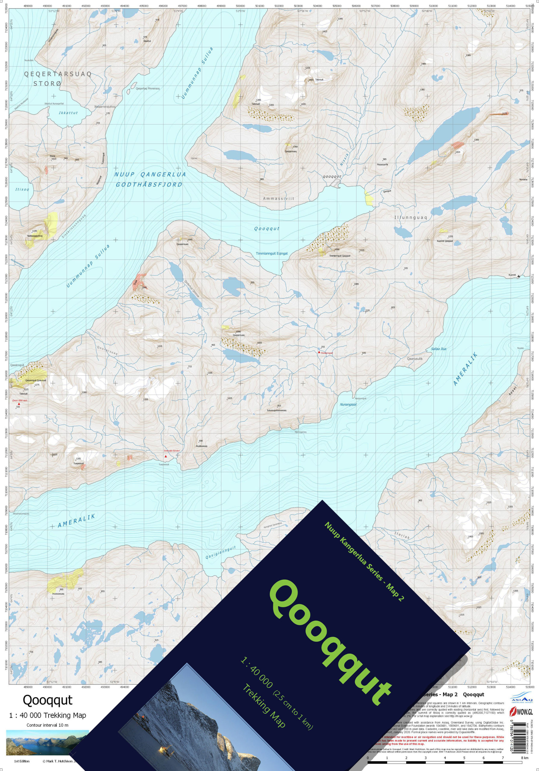
- ISBN Folded and Cased: 978-87-94014-02-1
- ISBN Flat: 978-87-94014-12-0
Buy this map in our bookshop.