NUUP KANGERLUA (GODTHÅBSFJORD) SERIES
1: 40 000 TREKKING MAPS
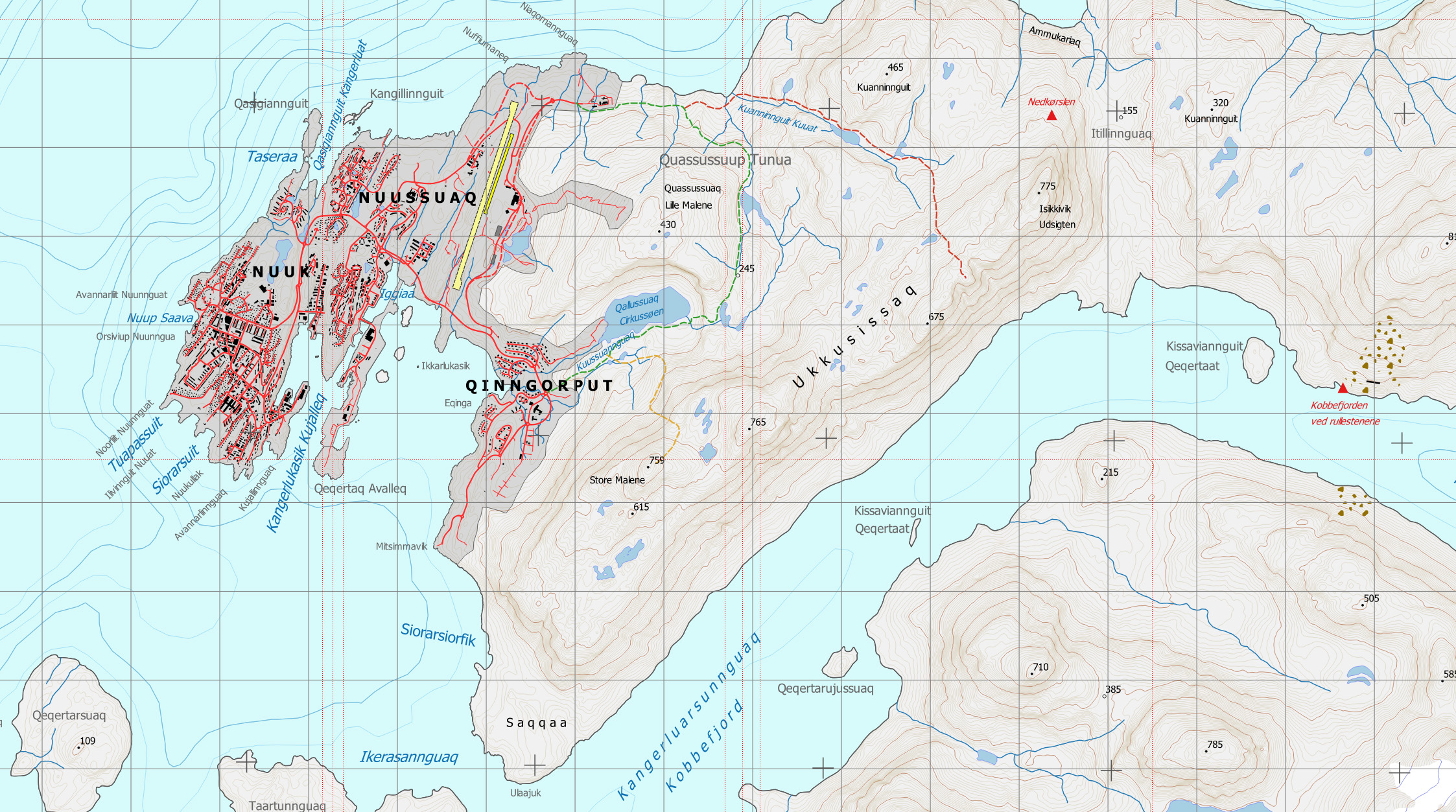
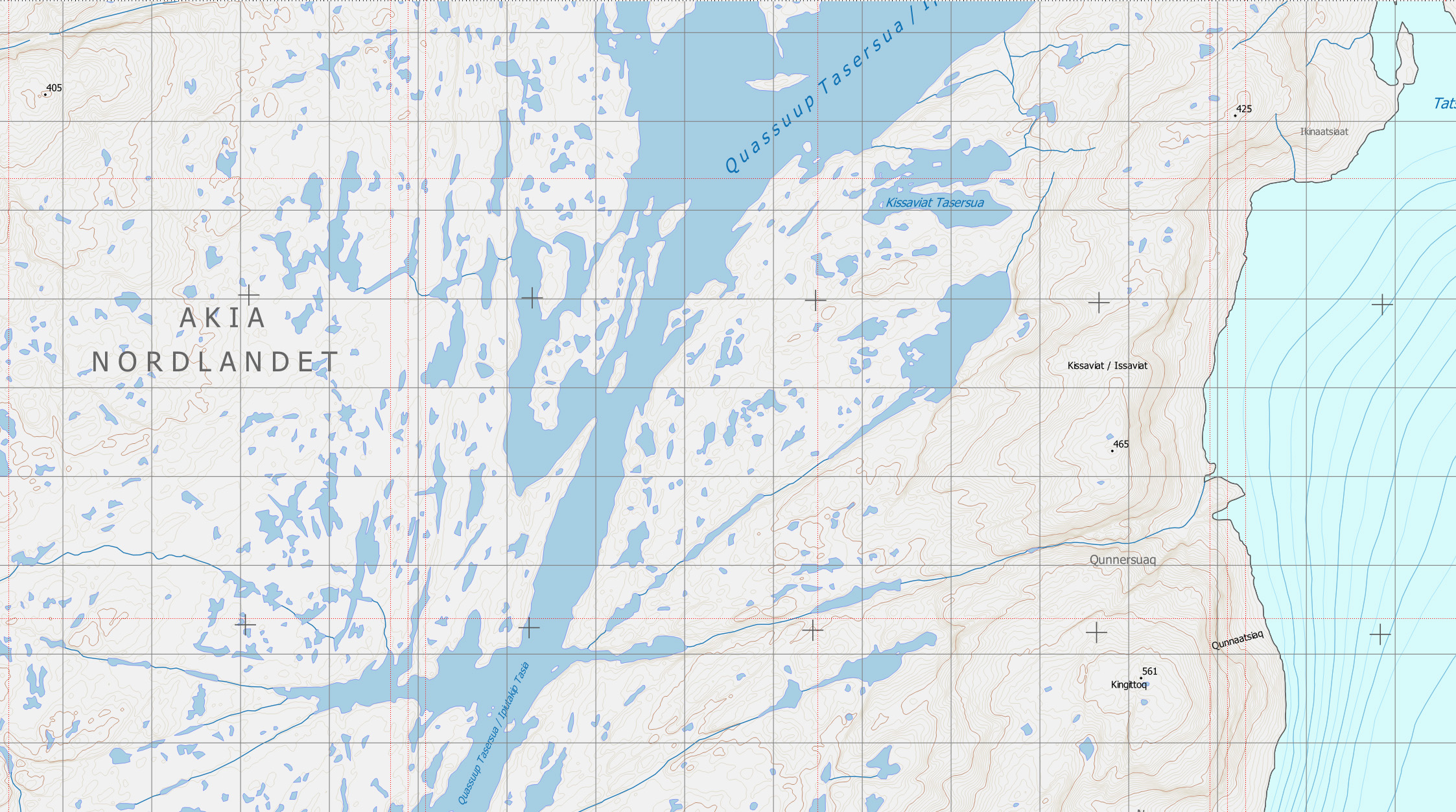
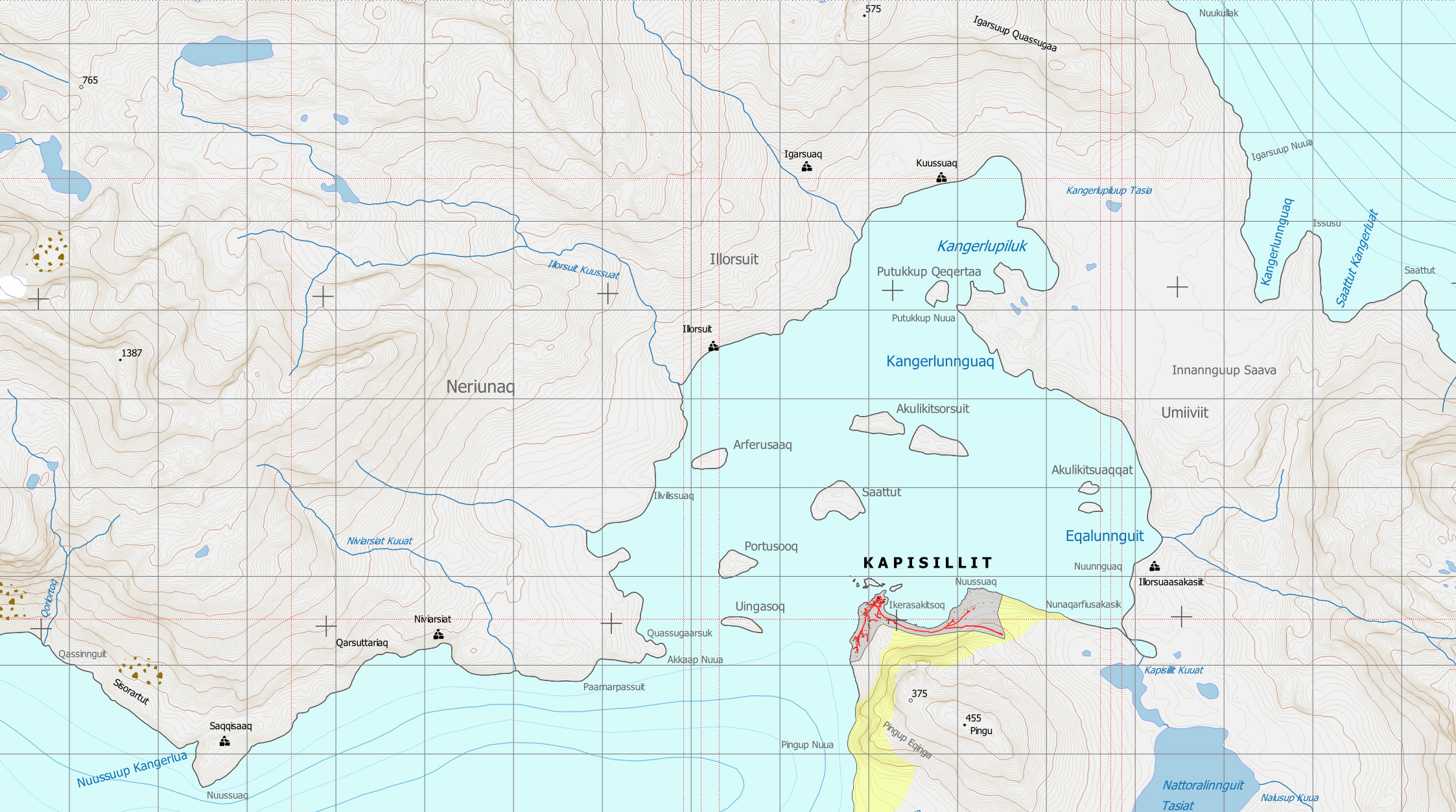
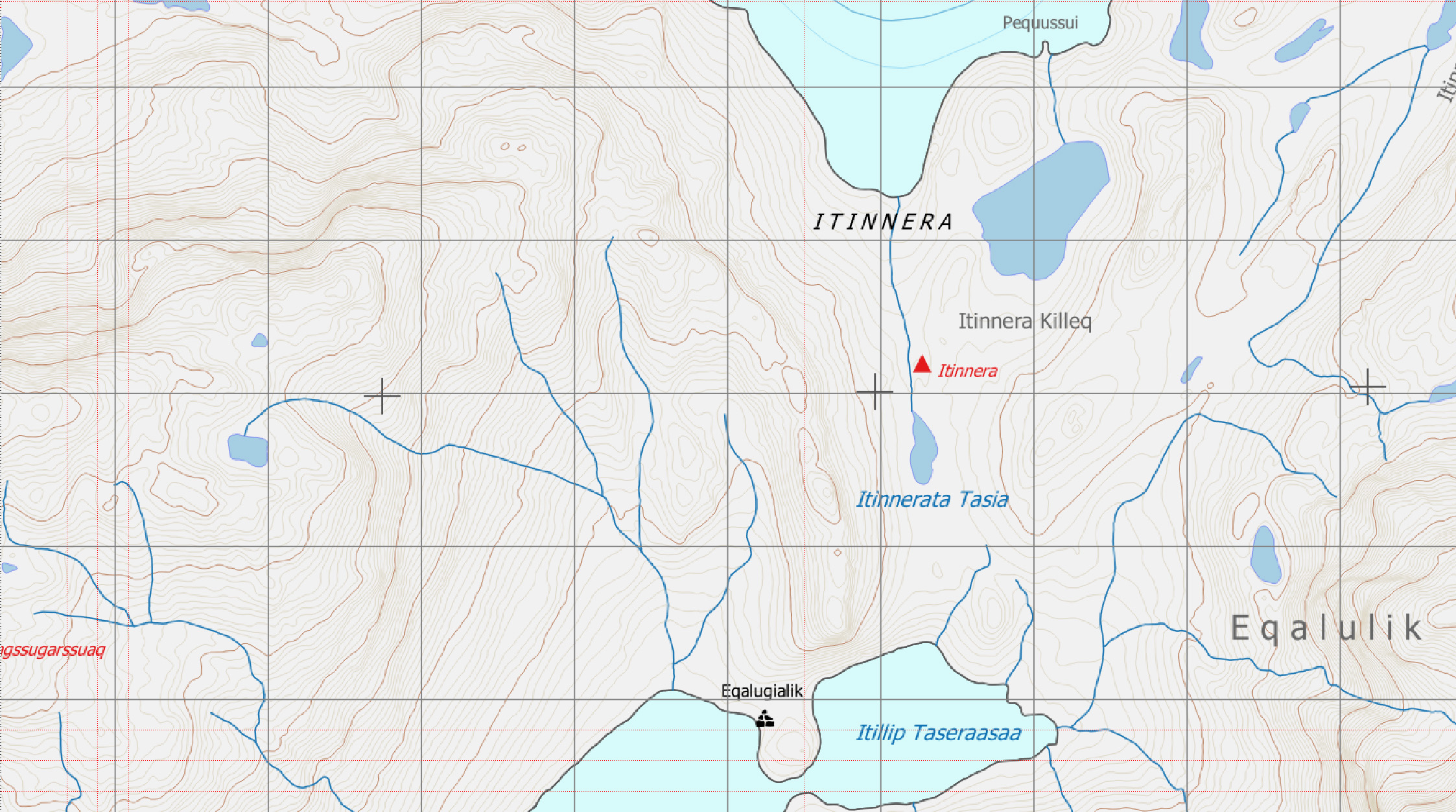
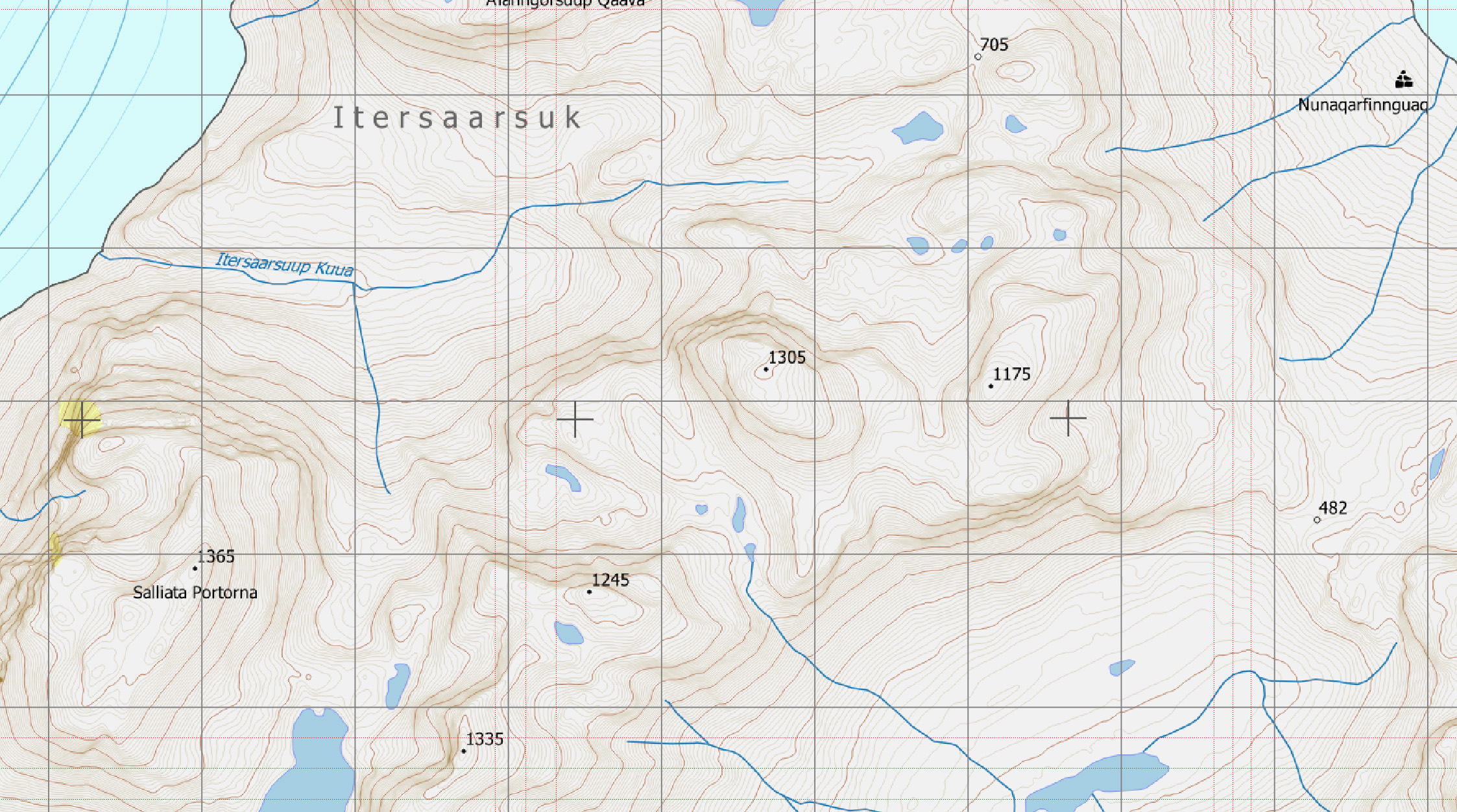
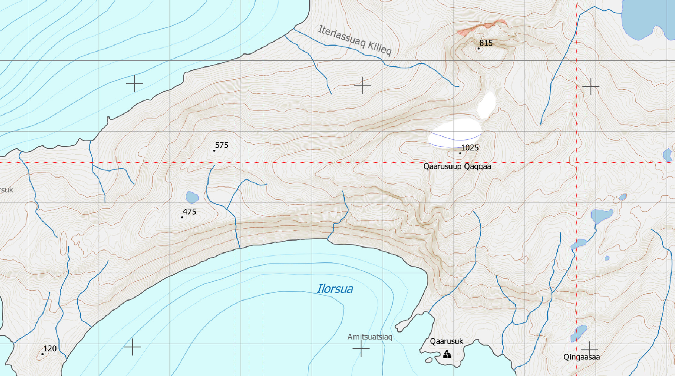
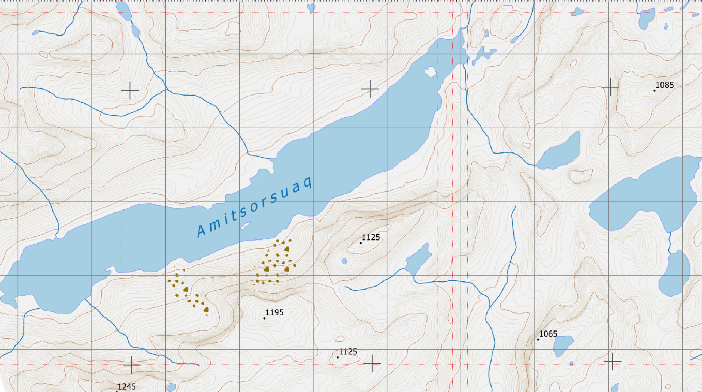
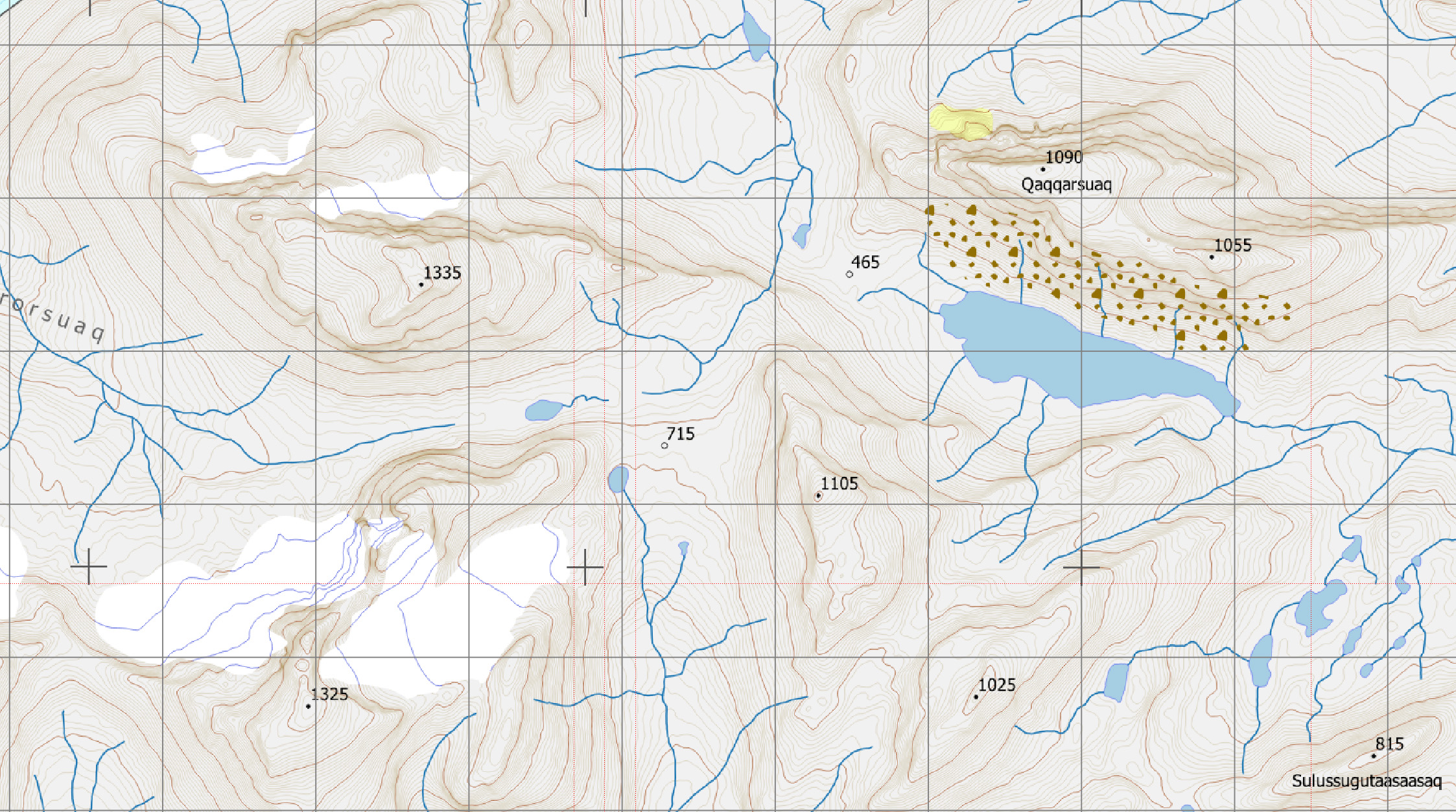
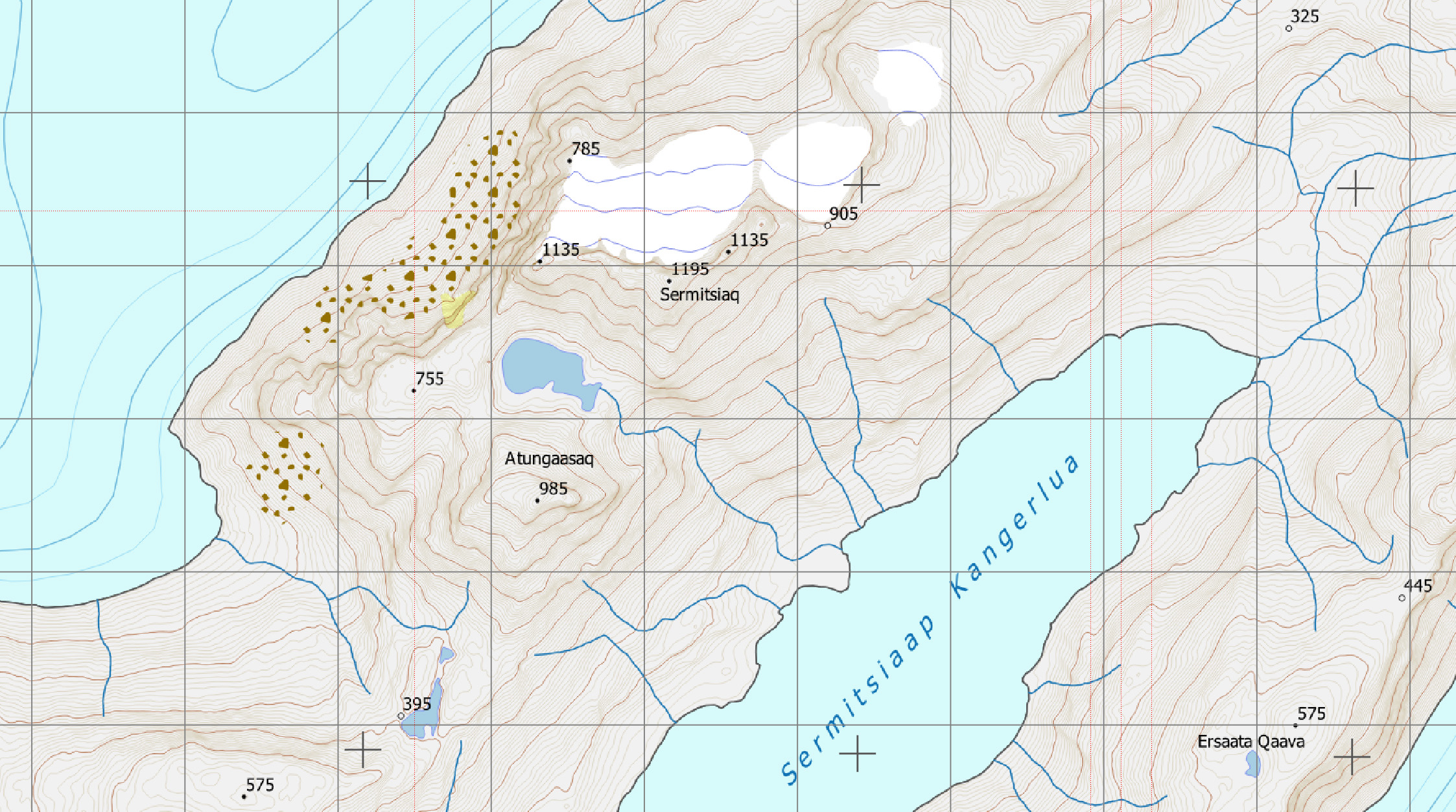
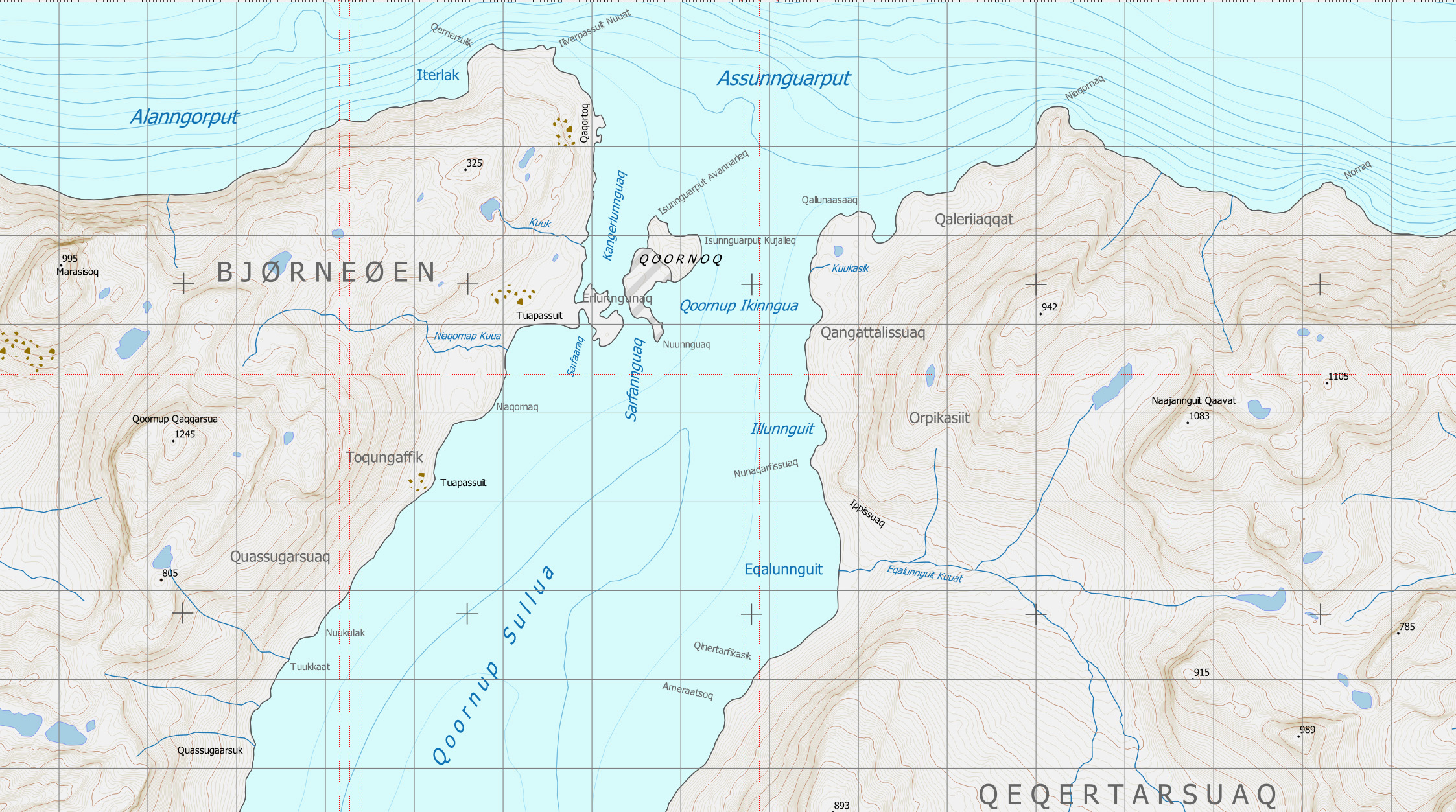
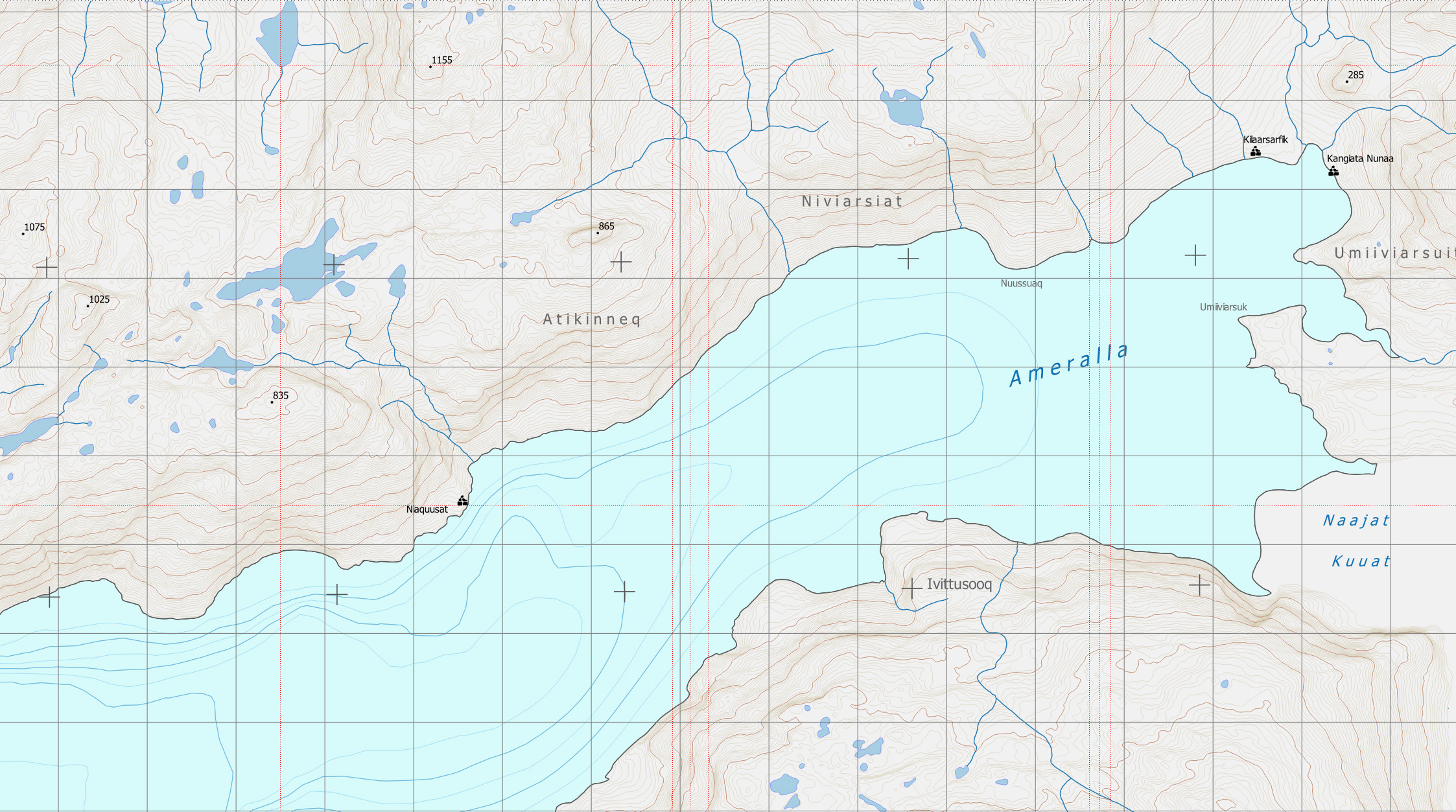
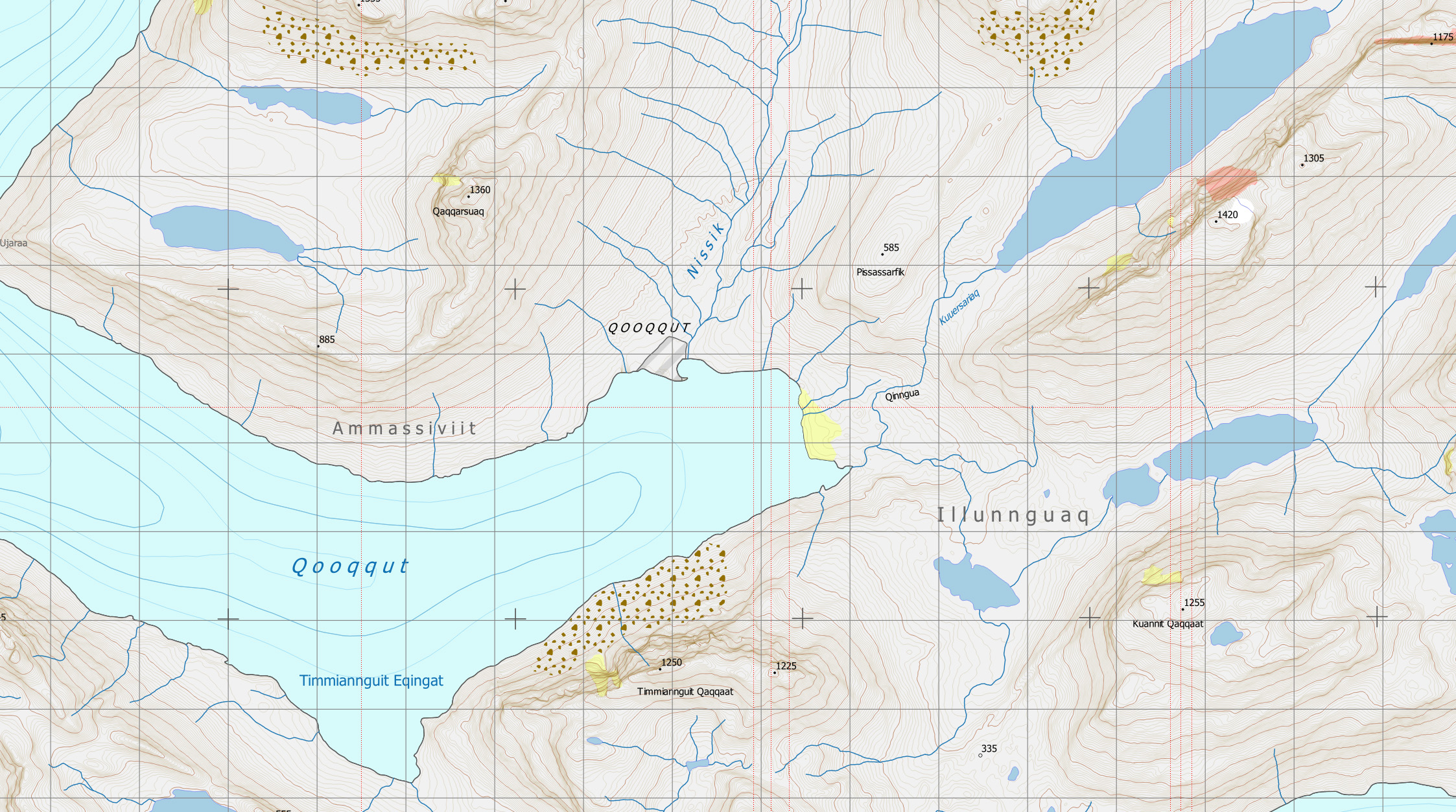
The Nuup Kangerlua Series of trekking maps comprises six maps covering all of Ameralik and the large majority of Nuup Kangerlua (Godthåbsfjord) up to the north side of the isfjord. Each map extends 27 km east-west and 35 km north-south. The maps are presented at a scale of 1:40 000. Internationally, the standard scale for hiking maps is 1: 50 000. However, for the Nuup Kangerlua Series a more detailed 1:40 000 scale has been chosen to allow for more accurate route-finding among the steep terrain which is common in the region. This scale allows each kilometre of geographic information to be shown over 2.5 cm on the maps.
The premise of the Nuup Kangerlua map Series is to provide the necessary tool, along with GPS or compass, to those wanting to explore the magnificent fjordlands around Greenland’s capital city in safety. So while some common routes adjacent to Nuuk are included, users of the maps are otherwise invited to explore freely. The Series maps are the most accurate publicly available topographic maps for the Nuuk area. They use state-of-the-art DigitalGlobe Worldview satellite elevation data at 2-metre resolution resulting in contours at 10-metre intervals throughout the area covered by the maps. They show mountain heights and glacier, lake, river and coastline locations with much improved accuracy compared to older maps. This high degree of precision allows hikers, hunters, skiers and snowmobile users the possibility of navigating in unfamiliar terrain with a high level of confidence in finding safe routes free of un-navigable slopes and other obstacles.
The maps are printed at the highest standards of offset printing on double-varnished 150g paper. The finish, while not completely waterproof, affords a high level of water-resistance and durability in damp conditions. Furthermore, folded maps are provided in heavy card protective pouches which are plastic-coated and are 100% waterproof. Pouches feature a scale bar which may be used to conveniently measure distances on the map. Read more about the individual maps here.
Maps can be ordered online or bought from retailers in Greenland.
Disclaimer. The maps are not intended for maritime or air navigation and should not be used for these purposes. While every attempt has been made to present current and accurate information, no liability is accepted for any consequences arising from the use of the maps.of the Nuup Kangerlua Series.
Copyright. No part of any of the six maps of the Nuup Kanterlua series, nor the images nor content of these web pages may be reproduced nor distributed by any means, neither electronic nor otherwise without written permission from the copyright owner. © M T Hutchison 2020 All rights reserved.