NUUP KANGERLUA SERIES
1:40 000 Trekking Maps
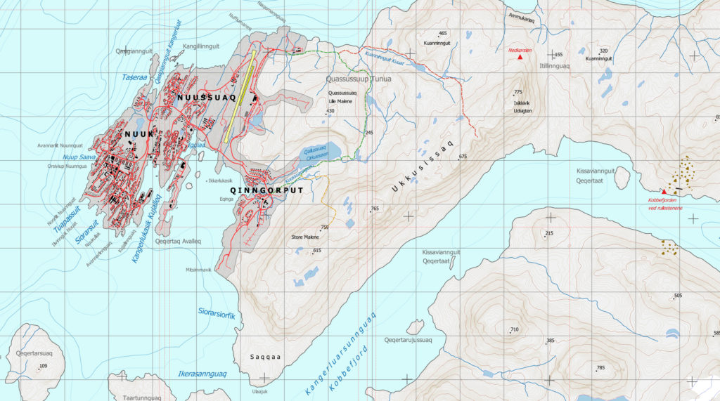
The Nuuk map, as well as incorporating Greenland’s capital city, covers the areas of all of the day walking trips from Nuuk and most of the day excursions commonly taken by boat from the city. This is the essential map for the short-term visitor and Nuuk resident alike.
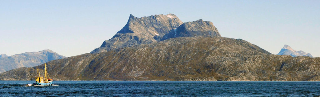
The heavily-used hiking routes from the city around Lille Malene, and Udsigten and Store Malene on the Ukkusissaq ridge, are displayed on the map. Also included are the hiking aids (fixed rope and bridge) and boulder-field hazards along the popular Kangerluarsunnguaq (Kobbefjord) coastline. Nuuk forms the start of the Nuuk to Kapisillit trekking route and three of the nine public huts along this route are shown on the map. The Nuuk map incorporates four of the most rewarding climbs in the western part of Nuup Kangerlua, being Sermitsiaq and Kingittorsuaq (Hjortetakken), which form part of Nuuk’s spectacular panorama, and the dramatic Oriartorfik and Qassi.
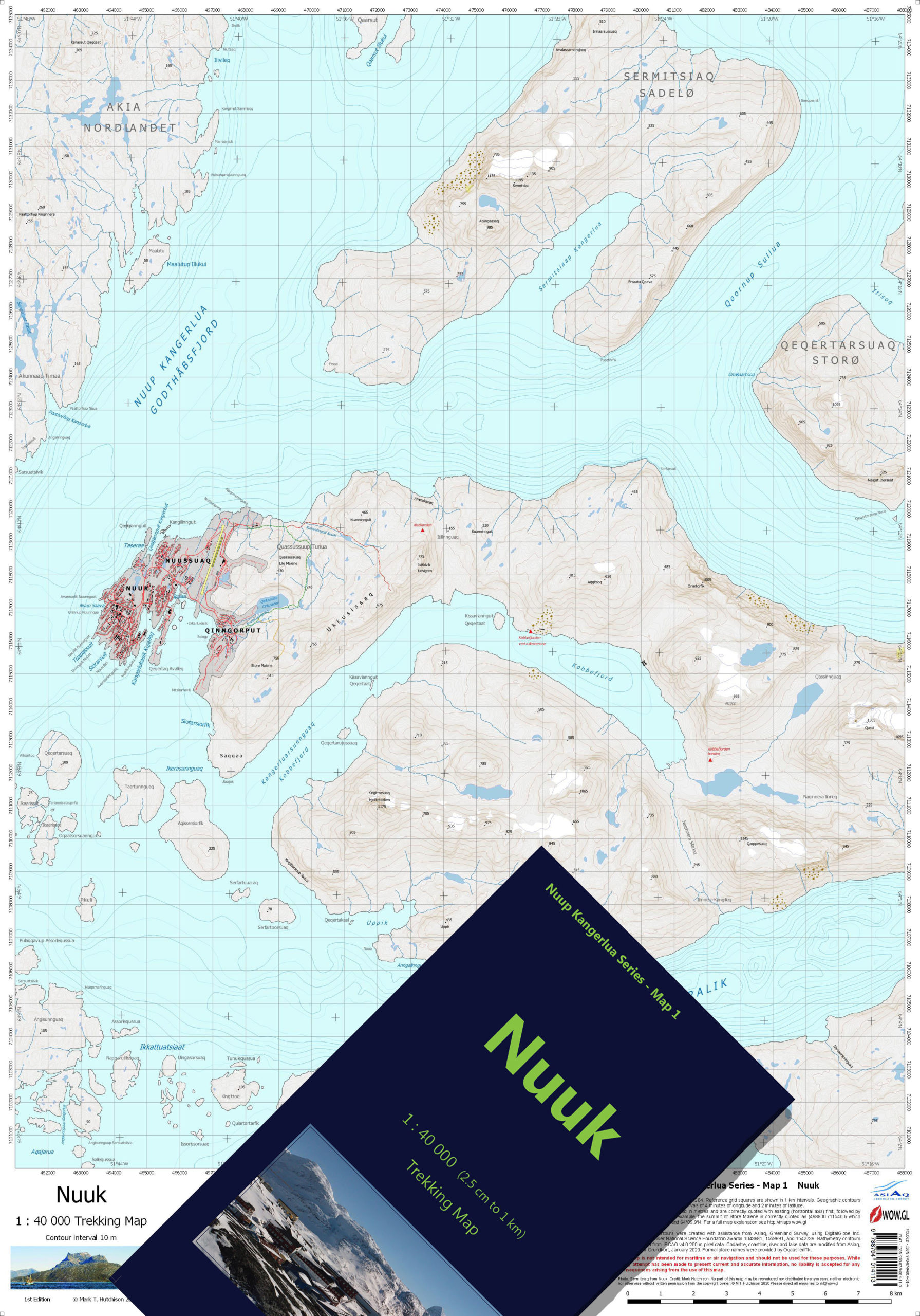
- ISBN Folded and Cased: 978-87-94014-01-4
- ISBN Flat: 978-87-94014-11-3
Buy this map in our bookshop.
3 Replies to “MAP 1 – NUUK”
Finally! Proper hiking maps for Greenland! Super detailed so you can really figure out the best way to explore the area around Nuuk on foot – rather than applying a fair bit of guesswork. I look forward to using these further up the fjord as well!
Thank you so much for your comment Lisa. In addition to the Nuuk map, all six maps covering the whole of Ameralik and all of Godthåbsfjord (Nuup Kangerlua) to the icefjord are already available for sale. This covers the large majority of places that locals and tourists visit. Once we establish a client base, we expect to be able to produce adjoining maps and also expand into other parts of Greenland uncharted at this scale. Watch this space! Cheers.
Highly recommended!