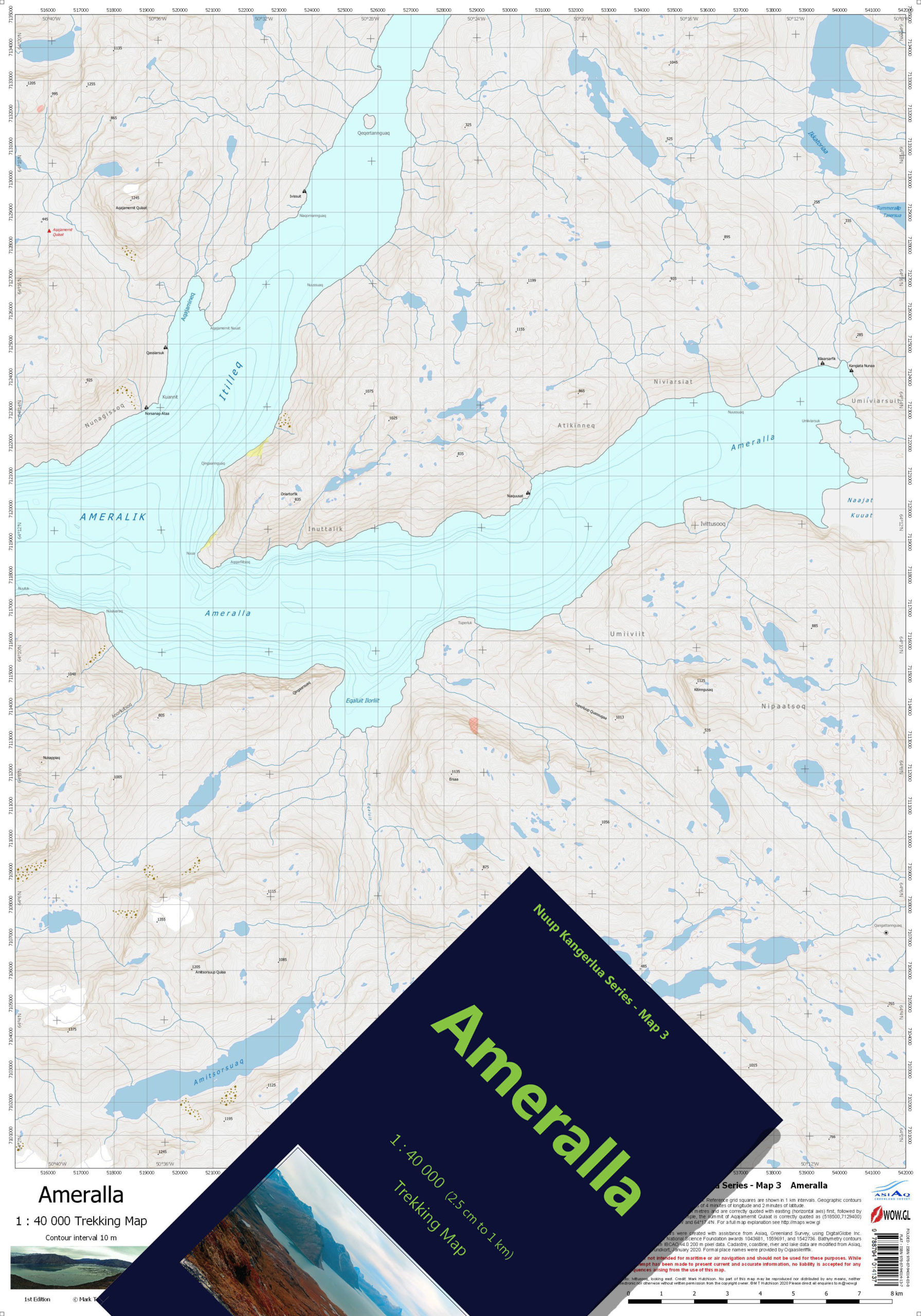
NUUP KANGERLUA SERIES
1:40 000 Trekking Maps
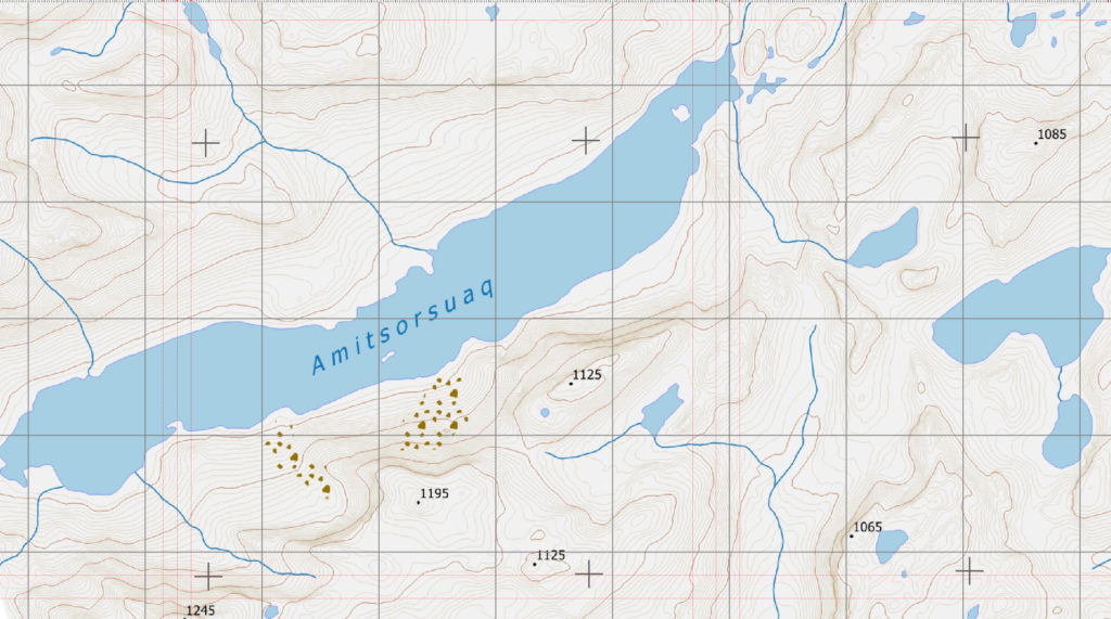
The Ameralla map incorporates to two inner branches, Itilleq and Ameralla, of the mighty Ameralik fjord. The map can be considered to be one of the principal hunting maps of the Nuup Kangerlua Series, covering much of the deep hinterland of the Ameralik fjord system with high plateaux seasonally populated with large numbers of deer.
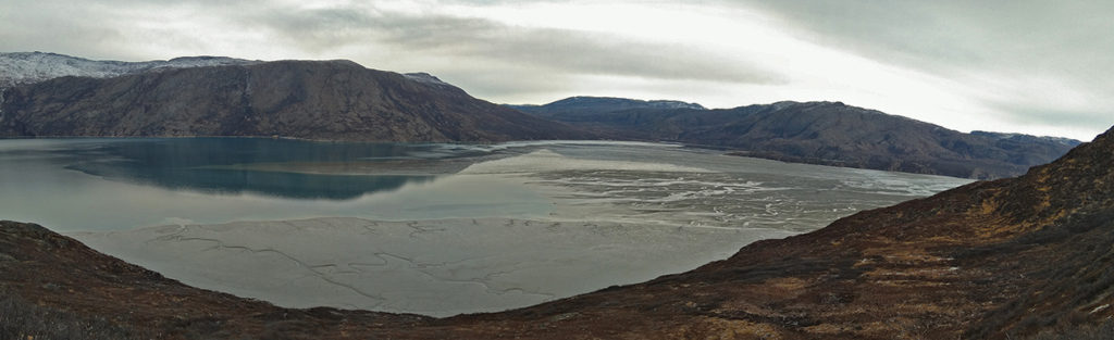
The inner reaches of Ameralik offer benign weather conditions and lush vegetation compared to the western coastline near Nuuk. As a result, the area is abundant with wildlife and is dotted with remains of Viking settlements. To the eastern edge of the map is the wide mudflat Kuuat at the edge of which Nansen camped in 1888 after his first crossing of the Inland Ice.
- ISBN Folded and Cased: 978-87-94014-03-8
- ISBN Flat: 978-87-94014-13-7
Buy this map in our bookshop.