NUUP KANGERLUA SERIES
1:40 000 Trekking Maps
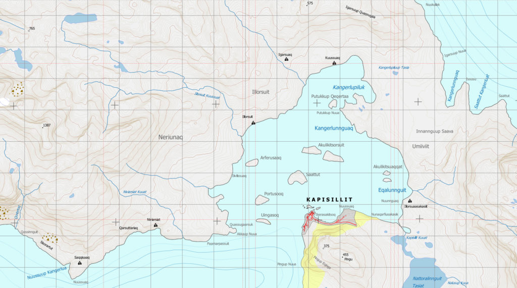
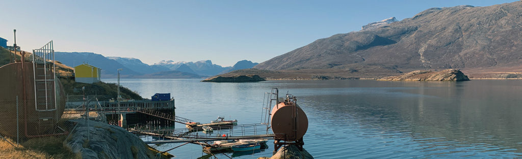
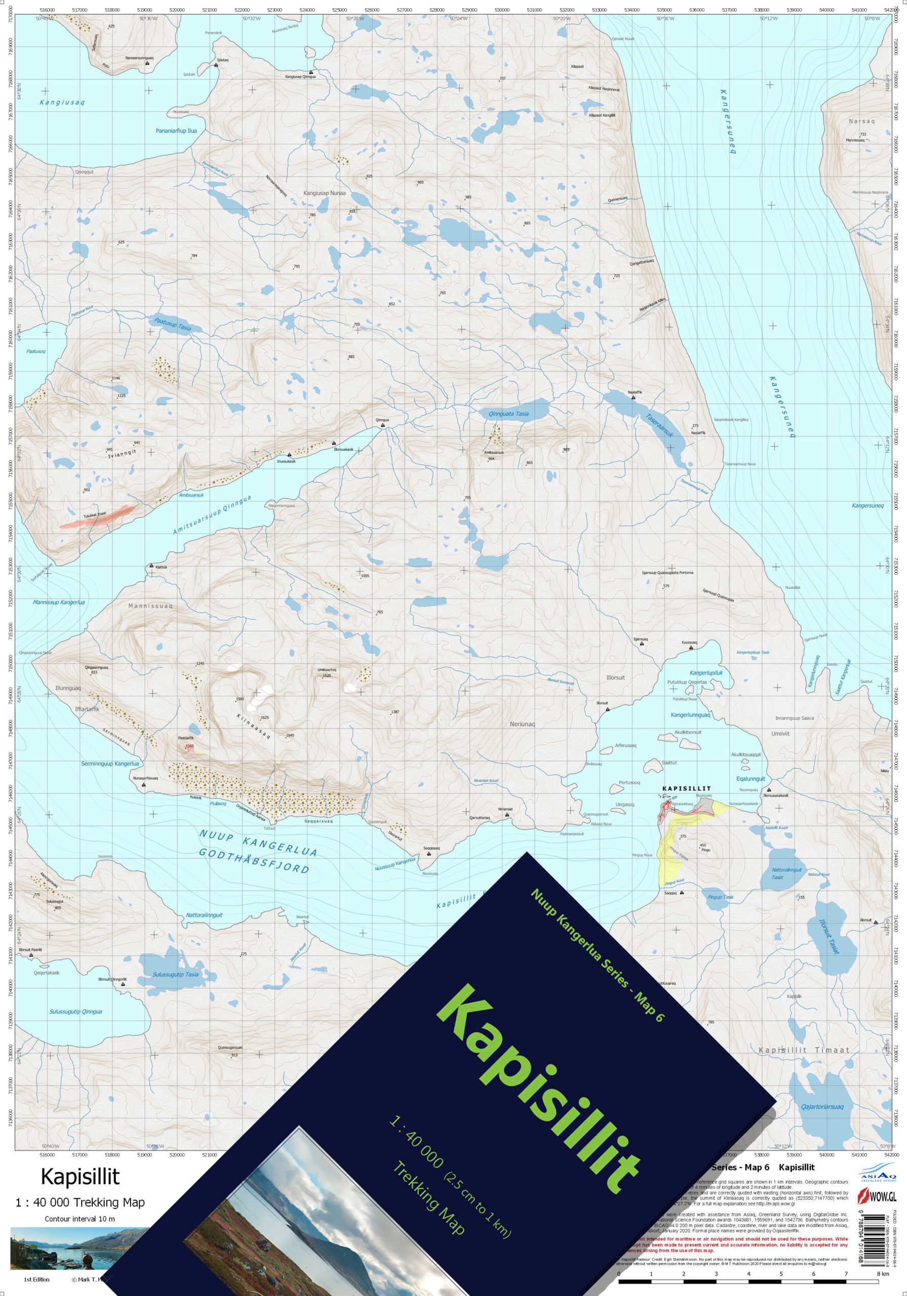
Kapisillit is Nuup Kangerlua’s only settlement outside of Nuuk and sits as an oasis of relatively warm weather and verdant scenery in the inner reaches of the fjord. The Kapisillit map covers all of the settlement and its hinterland, including the area of sheep farming at Neriunaq and the areas comprising summer huts, many owned by Nuuk residents. The map is bound by the icefjord, Kangersuneq, to the east and covers most of the large peninsula of Kangiusap Nunaa. This peninsula incorporates the highest mountain in the Nuup Kangerlua fjord system, the enormous Kiinaasaq ridge with its 1585, 1625 and 1645 metre peaks. Much of the area, in addition to the lands south of Kapisillit, is known for excellent hunting opportunities.
At the south extent of the Kapisillit map, the northern end of the inner branch of Ameralik, Itillip Taseraasaa, appears. This is a commonly-used summer camping location and site of a ruined Viking settlement at Eqalugialik. To the north, through Itinnera is the narrowest route (3 km) between Ameralik and Nuup Kangerlua and this pretty valley hosts one of the two public huts appearing on the Kapisillit map and which comprise the final huts on the Nuuk to Kapisillit trekking route.
- ISBN Folded and Cased: 978-87-94014-06-9
- ISBN Flat: 978-87-94014-16-8
Buy this map in our bookshop.
2 Replies to “MAP 6 – KAPISILLIT”
Very nicely filling the gap of detailed hiking maps in the area , a lot of the times in Kapisillit area we could just barely rely on our existing maps but with these new beauties we’ll find our way around with much more confidence.
I hope there will be more and more areas covered with detailed hiking maps.
Keep up the good work and many thanks!
Thank you for your comment. Until now, there have been some older maps close to Nuuk but the further one goes into the fjord system the fewer resources have been available. We have been very happy to fill that gap far into Godthåbsfjord (Nuup Kangerlua) and Ameralik, and we hope that our maps will encourage the adventurous explorer to venture into less-visited places with a better feeling of safety.