Over the past few years, maps.wow.gl have been working with Arctic Circle Business and the Qeqqata Municipality to design and deploy trailhead hiking maps around the Aasivissuit – Nipisat UNESCO World Heritage site, and other beautiful landscapes around the Municipality.

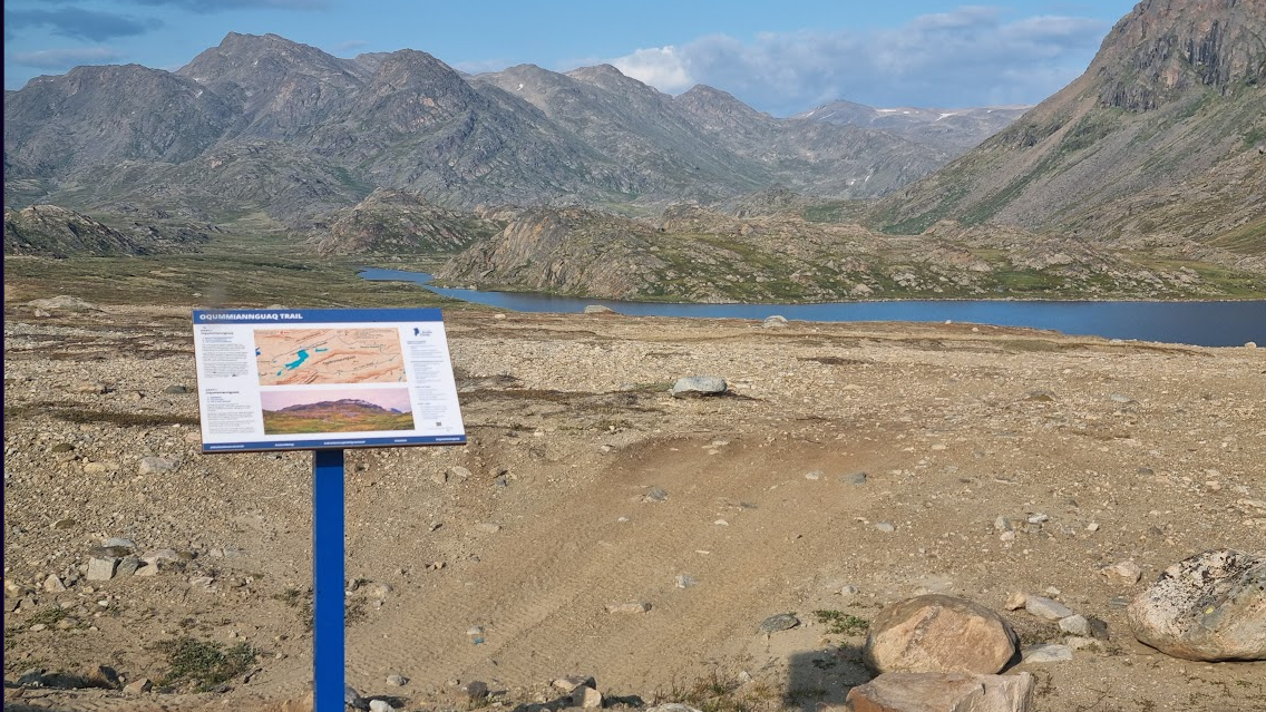
We are delighted to announce that all of the trailhead signs, featuring our maps, have now been deployed. These maps will help to ensure that hikers in these beautiful corners of Greenland are kept informed. Trailhead maps appear on signage on the hiking trails including Fossil Plain, Kangerlussuaq Ridge and Sugarloaf near Kangerlussuaq; the Assaqutaq, Kangerluarsunnguaq, Nasaasaaq, Oqummiannguaq, Palasip Qaqqaa, and UFO trails around the Sisimiut area; and the Flower Valley Trail with its extension, near Maniitsoq.
These signs have been commissioned by Arctic Circle Business to survive rain, snow and shine and maps.wow.gl have been proud to work with their team.